Seconded By: Cynthia Boll,
On a Tuesday afternoon, Herman Willem Daendels came ashore in Anyer, a coastal town 140km away from Batavia then center of Dutch East Indies government. He was in Java to take over the Dutch colony as the new governor general. His arrival on January 5, 1808 marked the start of a new regime that would cost Java thousands of lives. During his four-year regime, he oversaw many ambitious infrastructure projects but his best-known one was the construction of the Great Post Road (Indonesian: Jalan Raya Pos). Once finished, the road boasted the longest in the world spanning from Anyer to Panarukan, a distance of about 1,000 km, twice of the length of Amsterdam to Paris. Built only in a year, the Jalan Raya Pos was constructed at the expense of 12,000 lives, mostly native Javanese.
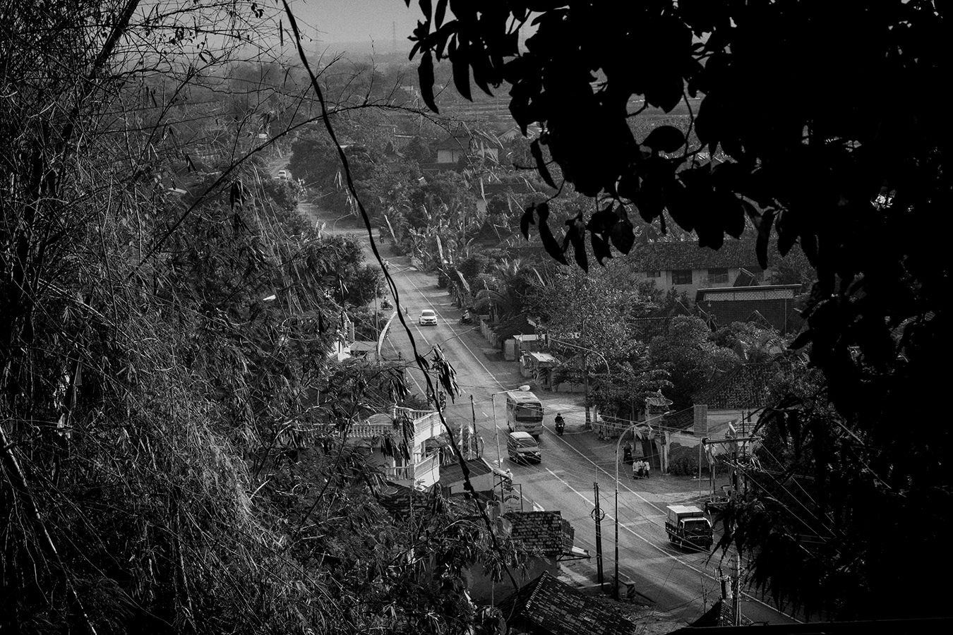
Known now as the North Coast Road (Indonesian: Jalan Pantai Utara/Pantura), it remains a major transportation backbone in Java. Originally constructed to allow the quick mobilization of the military to defend the island against British fleets, the road now serves as a vital highway of commerce as it passes through five provinces in Java: Jakarta, Banten, West Java, Central Java and East Java.
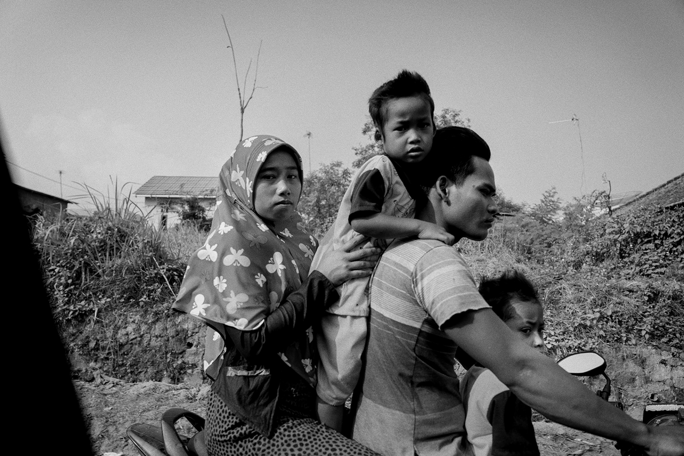
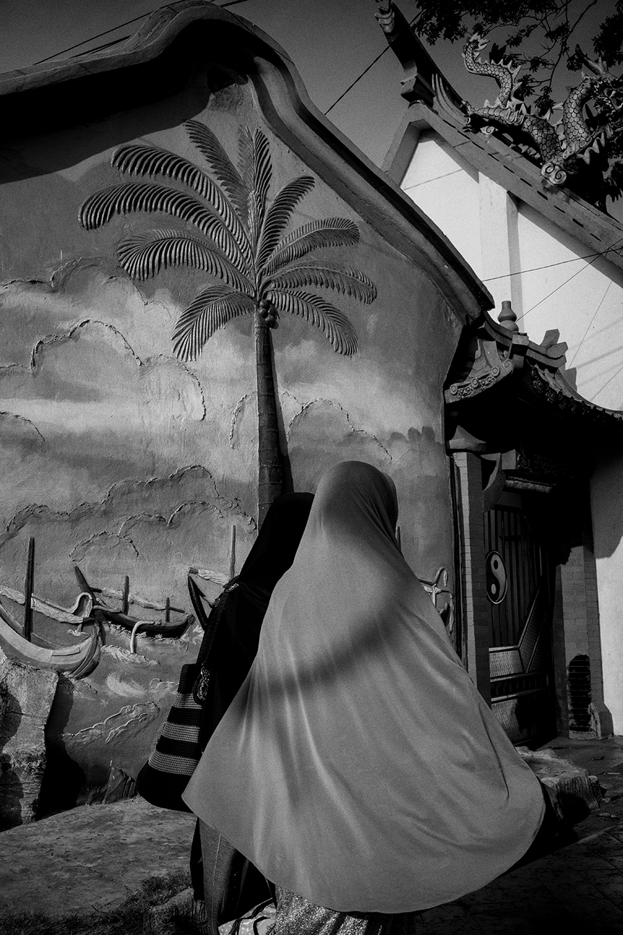
However, despite being a catalyst of industrialization and development, Jalan Pantura has traditionally been a symbol of the great divide between the rich and the poor. Trucks and travelers passes through the road towards the bigger cities like Jakarta, Semarang, and Surabaya where the seat of the region’s/country’s power and wealth are located. Historically, the north of the road was where the Europeans lived and the south belonged to the wealthy Chinese. And the native marginalized Javanese were scattered in between.
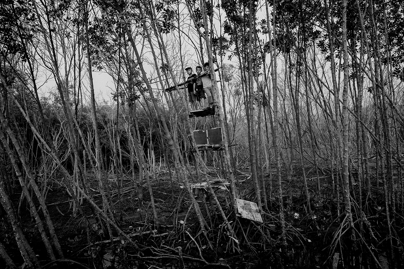
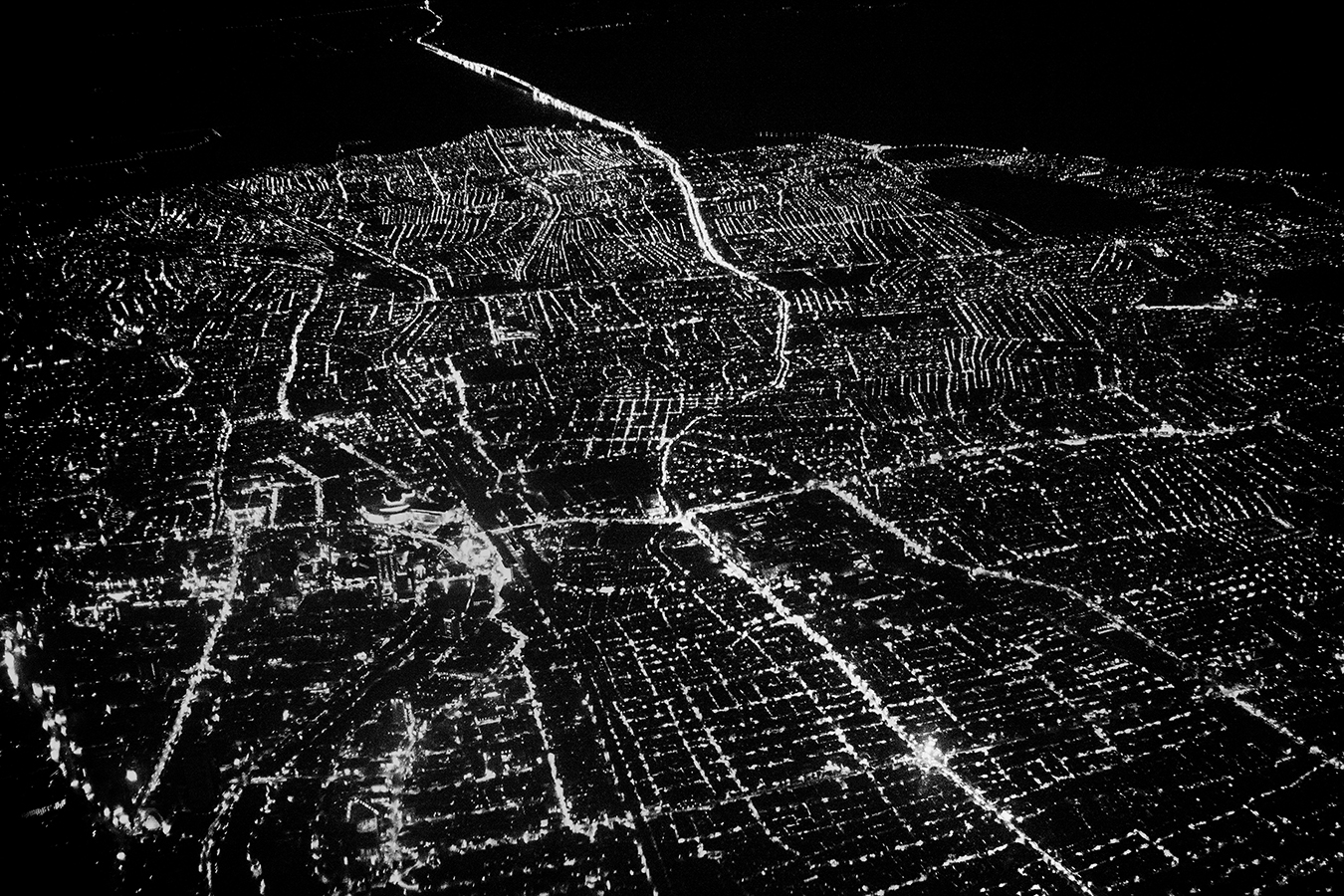
Java, the most densely populated island in the world, continues to play a vital role, politically and economically. With more than half of the country’s population living in the island, this project is to do a survey and investigate the roots of colonialism along the road and how it shaped the present-day Java.

